
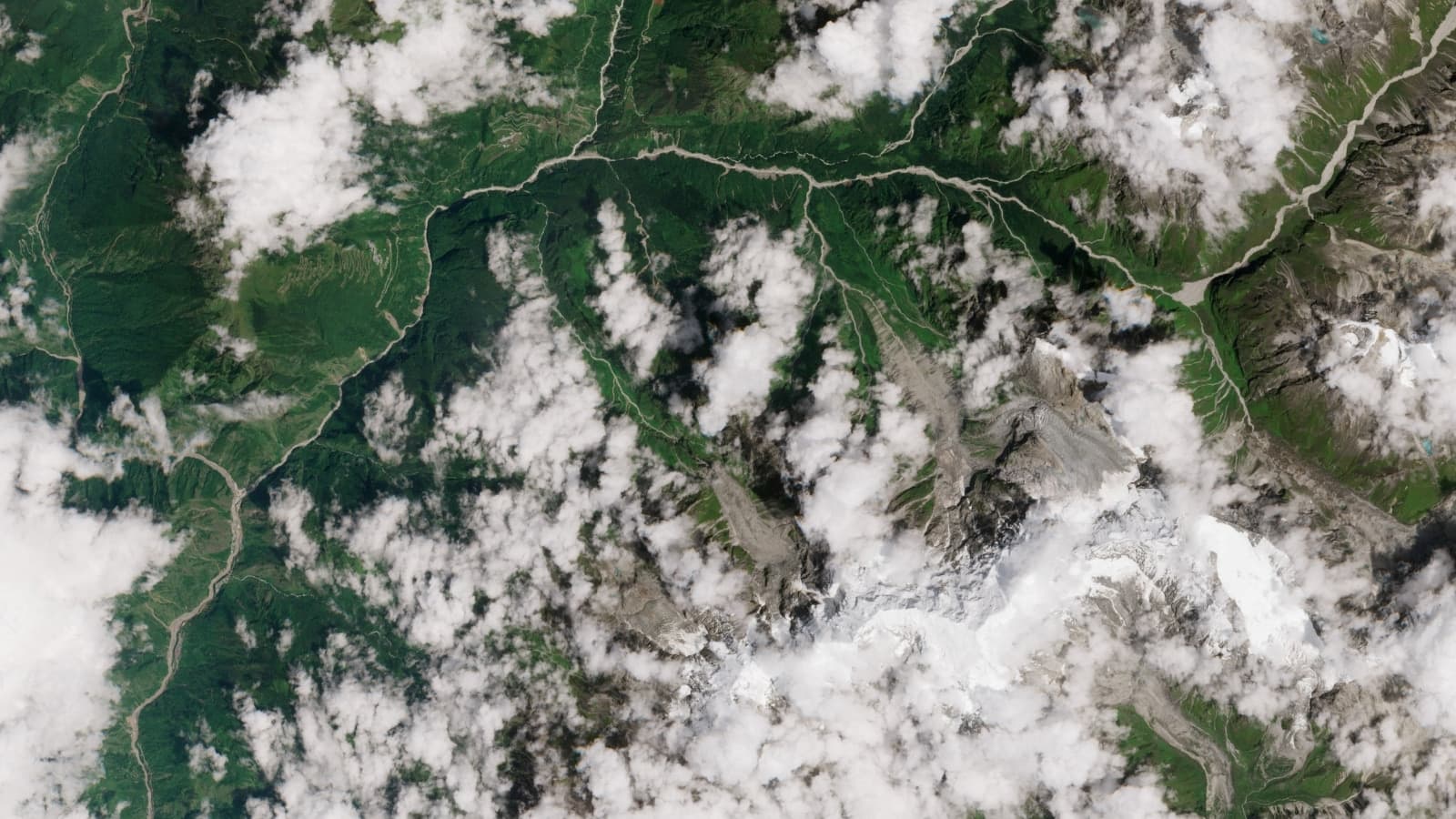
Accelerated melting of Himalayan glaciers and the expansion of glacial lakes have significantly increased the risk of catastrophic flooding across northern India. This warning follows the August 2026 floods along the Nepal–Tibet border, which killed more than 1,300 people and caused widespread destruction in the Trishuli and Bhote Koshi river corridors. Research shows that southern Himalayan glaciers have lost 40 percent of their mass over the past 60 years, heightening the danger of sudden debris flows.
States including Uttarakhand, Himachal Pradesh, Sikkim, and Arunachal Pradesh are at high risk due to their proximity to the Indus, Ganga, and Brahmaputra river basins. Critical infrastructure, such as major highways and hydroelectric plants, remains exposed to these hazards, alongside concerns regarding the security of transboundary projects like dam construction on the Yarlung Zangbo river. Experts warn that current river-gauging stations offer only minutes of notice before disasters strike.
While satellite missions like ISRO-NASA’s NISAR can identify early signs of slope failure, there is currently no integrated regional network to provide immediate alerts. Scientists are calling on neighboring nations to establish unified early-warning systems and implement more rigorous climate-resilient engineering standards to mitigate future threats.


